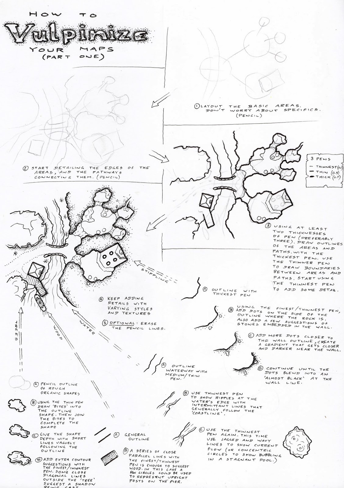
Hand Drawn Pixel Maps
Inspired by the simple, flat, pictorial maps of +Matthew Lowes, I've decided to give all of the towns in the Core FUBAR setting (The Micronesian Free Trade Zone of Mu) a similar treatment.
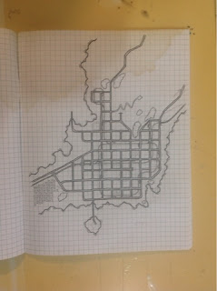


They aren't exactly in the same style that Matthew produces his maps, there are more curves here and the forested areas are depicted in a different fashion. I won't be adding colour to the maps, instead I'll be using different types of shading to display different elements. Each of these maps will be transferred across to a blueprint format, like the previous map I displayed for the setting. I'll probably compile these (and the next half dozen or so) onto one or two large format images, with zoom indicators showing where these locations are on the larger island map.


They aren't exactly in the same style that Matthew produces his maps, there are more curves here and the forested areas are depicted in a different fashion. I won't be adding colour to the maps, instead I'll be using different types of shading to display different elements. Each of these maps will be transferred across to a blueprint format, like the previous map I displayed for the setting. I'll probably compile these (and the next half dozen or so) onto one or two large format images, with zoom indicators showing where these locations are on the larger island map.
.png)
Comments